Progress over time
A hybrid AI model maps carbon changes across US cropland in finer detail
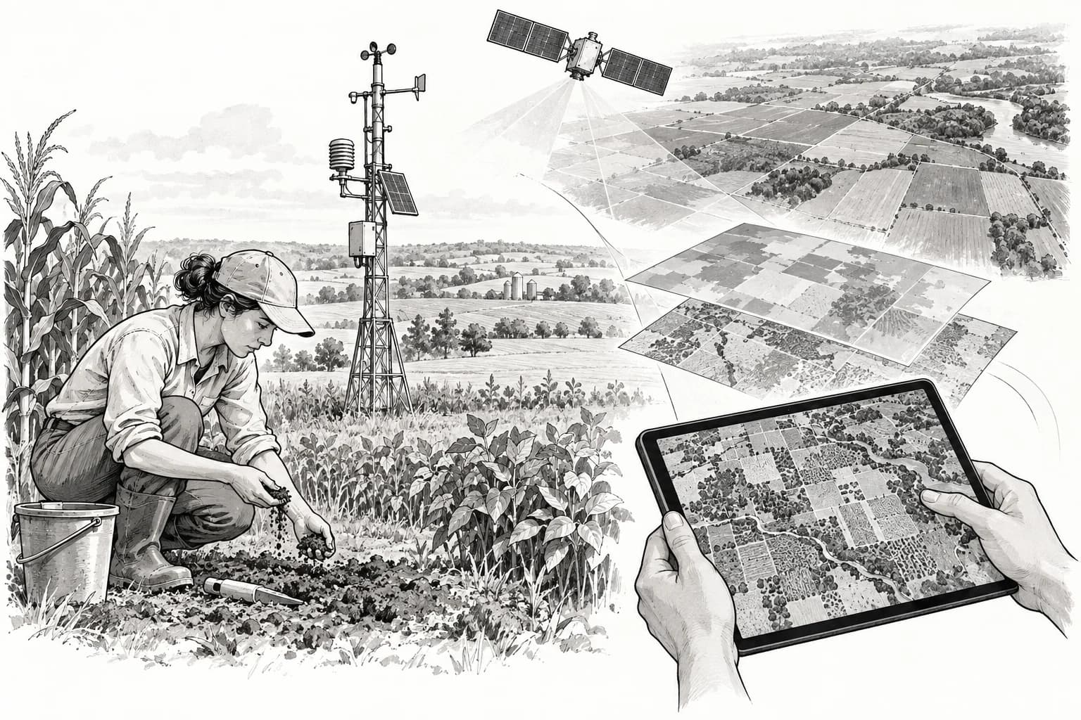
A model combining process knowledge, satellite data and field observations estimated crop and soil carbon across the US Corn Belt at 250-metre resolution. It improves research mapping, but it is not yet a field-level carbon-credit measurement system.
Liu and colleagues · Nature Communications · January 8, 2024
Research claim
1 of 1 results. End of results.