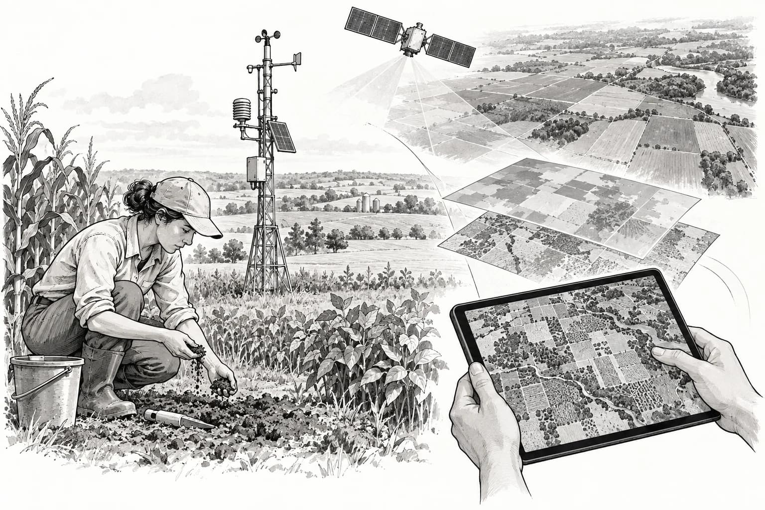
A more detailed regional map
The study tested corn and soybean systems in the US Midwest. It produced daily estimates on a 250-metre grid and outperformed the compared process-only and black-box machine-learning models on several carbon and yield measures. [1]
Compared with a coarse-resolution approach, the fine grid revealed 86% more spatial detail in estimated soil organic carbon change. That number describes variation visible in the model output, not an 86% increase in carbon or accuracy. [1]
Useful estimates still depend on missing observations
The model inherits assumptions from the process model used for pretraining. Flux towers are sparse, county yield data are coarse, and important management information such as fertilizer timing may be unavailable. [1]
The work does not validate individual carbon-credit claims or show that a particular farm stored a measured amount of carbon. More direct soil and greenhouse-gas observations, other crop regions and tests under extreme weather are still needed. [1]
Sources & context
One modelling study across the US Corn Belt, not a direct measurement campaign on every mapped field.
Knowledge-guided machine learning can improve carbon cycle quantification in agroecosystems
Liu and colleagues · Nature Communications · January 8, 2024